Riverton Block Lookup Sources
A block-level search is a small geography exercise. First identify the subject parcel, then click outward one parcel at a time. The table separates map evidence from people evidence and community leads.
| Source | What it shows about a block | Access |
|---|---|---|
| Assessor GIS | Parcel edges, aerial context, tax districts, layers | Public viewer |
| Assessor parcel search | Owner, situs, mailing address, parcel ID | Free search |
| Recorder index | Deeds, plats, mortgages, liens, legal descriptions | Free list, image access varies |
| Utah voter system | Public fields for non-protected voters | At-Risk rules apply |
| Reverse directory | Past occupants by address and year | Marriott collection |
| Community groups | Possible civic contacts or planning leads | No verified public roster |
Owners are not the same as occupants. A mailing address can differ from the situs, a property can have several units, and a protected person can be absent from the public result. The official record should always control its own meaning.
Open the Salt Lake County GIS page before searching adjacent parcels.
Click From One Riverton Parcel
The GIS method is repeatable and restrained. It begins with the parcel map, not with a guessed person. Save each parcel ID and mark whether the next record is an owner, a map feature, or a historical clue.
- Search the subject address in the county GIS or Assessor portal.
- Click each adjoining parcel and record its ID, lot shape, and map relationship.
- Open each Assessor result and compare owner, situs, mailing address, exemption, and tax district.
- Use the Recorder’s address or parcel search for a deed, plat, or legal description when ownership history matters.
- Stop at the block boundary, a protected record, or an uncertain same-name match.
Roads, common areas, rear lots, and parcel lines can make a block look different on a screen than on paper. A recorded plat may explain the shape better than an aerial layer. The Riverton street directory is the place for a full named-street chain.
Read Riverton Parcel Boundaries
The county map may include parcel boundaries, tax districts, aerials, and other layers. Dates vary. A parcel is a land and assessment unit, not a household. The situs is the physical location. The mailing address is where tax correspondence goes. These fields can point in different directions without an error.
- Adjacent parcel
- A land unit sharing a boundary or touching the subject block.
- Situs
- The property location used by the assessment record.
- Mailing address
- The address chosen for tax notices, which may not be the home.
- Plat
- A recorded map of lots, blocks, roads, and easements.
- Block
- A local group of lots; it is not always the same as a postal route.
Use the legal description and parcel ID when a map label is unclear. The Recorder’s free list can show document number, recording date, document type, current owner, legal description, and parcel context. Images may require paid access or an office request.
The Assessor Find a Parcel page is the source for the owner and situs check.
Riverton Voter Visibility Is Limited
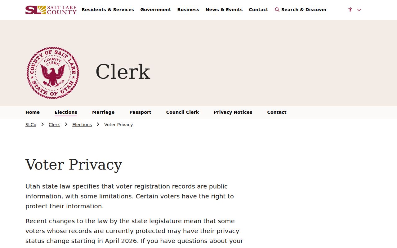
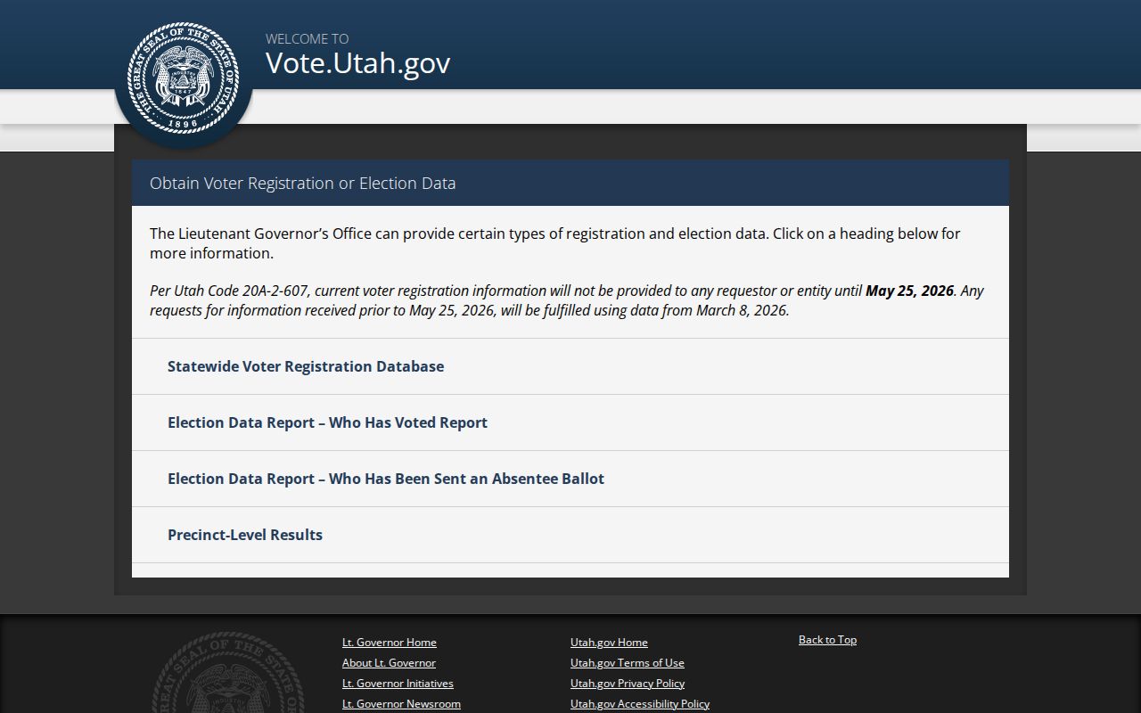
Utah’s voter lookup is designed for status and polling information. Salt Lake County’s 2026 page describes SB153 and the At-Risk transition, with non-protected information public from May 26, 2026 and protected voters withheld. A public field does not mean every nearby resident is visible. A missing name cannot be read as proof that the person is absent from the block.
The statewide data route is a separate request and the research lists a $1,050 fee, a data freeze before release, and use limits. Check the county voter privacy page and the Utah data request instructions before treating a voter record as a neighbor clue.
Historic Neighbors in a Directory
The University of Utah suburban city-directory collection can show an address-order entry for a past year. Its 1974 volume includes Riverton alongside valley communities, and the listing shows 1975, 1976, 1977–78, 1979, 1980, and later runs. Search the criss-cross pages for nearby addresses, then check the alphabetical section. A directory is a dated snapshot, not a current block roster.
Salt Lake County Archives adds appraisal cards, aerials, permits, deeds, and plats. A historic Riverton filter at the Marriott Library returned 291 records. Historic building forms can connect a named property to a modern parcel, but they identify a past owner or builder, not today’s neighbors. Pair any old name with a date and source.
The Riverton historic-building collection provides a local name-to-address bridge.
Riverton Associations Are a Lead
The city’s active-transportation plan mentions neighborhood and homeowner-association groups as planning stakeholders. It is evidence that community groups exist, not a membership directory. No official open Riverton association roster was located in the research. Ask an organization for a public contact route rather than seeking or publishing private member names.
The Riverton Branch of the Salt Lake County Library, listed at 12877 S 1830 W with phone 801-943-4636, is a practical civic and history handoff. Exact current neighborhood directories, obituary indexes, and licensed databases were not published in the inspected listing. The branch can help identify what is available now.
Note: A planning document can identify a community stakeholder without disclosing the people who belong to that group.
Compare Official and Commercial Tools
Official rolls are narrow by design. The Assessor owns a parcel record, the Recorder owns a recorded instrument, Elections controls voter fields, and the library holds historical publications. Commercial neighbor tools may merge old addresses or infer relationships, but they do not give the same custodian, date, or correction route. Use an official source for the fact being checked.
| Question | Best primary source | Limit |
|---|---|---|
| Which land parcel is next? | County GIS | Map layer dates vary |
| Who is the record owner? | County Assessor | Owner is not every occupant |
| What changed title? | County Recorder | Image and fee rules apply |
| Who appears in a historic year? | Marriott city directories | Not a complete census |
Neighbor Privacy and Safe Search
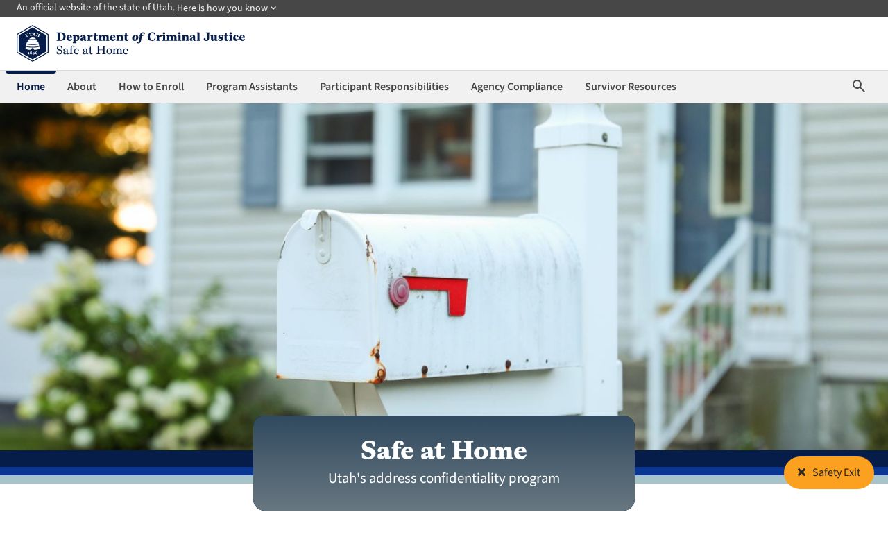
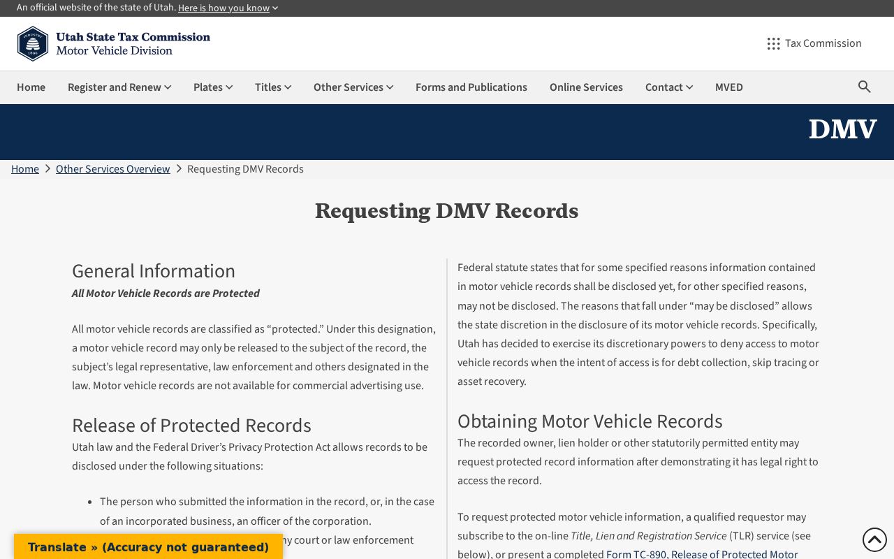
DMV records are restricted by the federal Driver’s Privacy Protection Act and Utah law. Utility and delivery customer lists were not located as public records. Voter fields can be protected. Safe at Home uses a substitute address. These limits matter because a block search can become invasive when map, mail, and name clues are combined.
When a public record is missing, Utah GRAMA can request an existing, identifiable record from the right custodian, subject to classification, redaction, response periods, and actual-cost fees. Stop at a protected record or uncertain same-name hit. A respectful search leaves the block safer than it found it.
Riverton Block Search Notes
A careful block search has a natural stop point. Once the adjacent parcel IDs are recorded and each primary source has been checked, more searching often adds inference rather than proof. Keep the map date, source URL, parcel ID, and record date. If a question turns into a current person search, use the separate resident lookup route and apply its same-name checks.
Keep a Riverton Neighbor Log
For each adjacent parcel, note the map source, parcel ID, owner record, situs, mailing address, date, and any uncertainty. Do not copy sensitive fields that the source does not intend for broad use. A short log supports civic curiosity and property research while limiting needless collection.
Riverton County Voter Privacy
Salt Lake County Elections publishes a separate voter-privacy explanation for the public and protected fields. Read it before using any voter clue near a block, because the At-Risk transition is time-sensitive and a protected result is intentionally absent.
Review the County voter privacy guidance before interpreting neighbor records.